Maps
I’ve always loved paper maps. The tactile feel of holding where you are in the world. Global satellite navigation is a remarkable technological advance and most certainly has its uses. I’m not sure I’d step on a plane without that system in place. But out walking in the wilderness I’ll take a proper map and a compass over a GPS unit every time. If read properly there’s little room for error with minimal failure points. Plus it’s a lot of fun to stand on an unknown ridge, pull out a map and compass and triangulate your position using Earth’s magnetic field. They can be useful and fun to have on a trail but become a necessity when stepping off trail.
I locate my position, memorize the next section topography and sometimes ride the compass needle to the next waypoint. Riding the compass needle is simply walking following the compass degree to the next waypoint. I visualize the immediate route and walk it both in mind and in reality until I get to the marked waypoint where I’ll take another reading on a further waypoint and repeat the process. The map and compass are symbiotic.
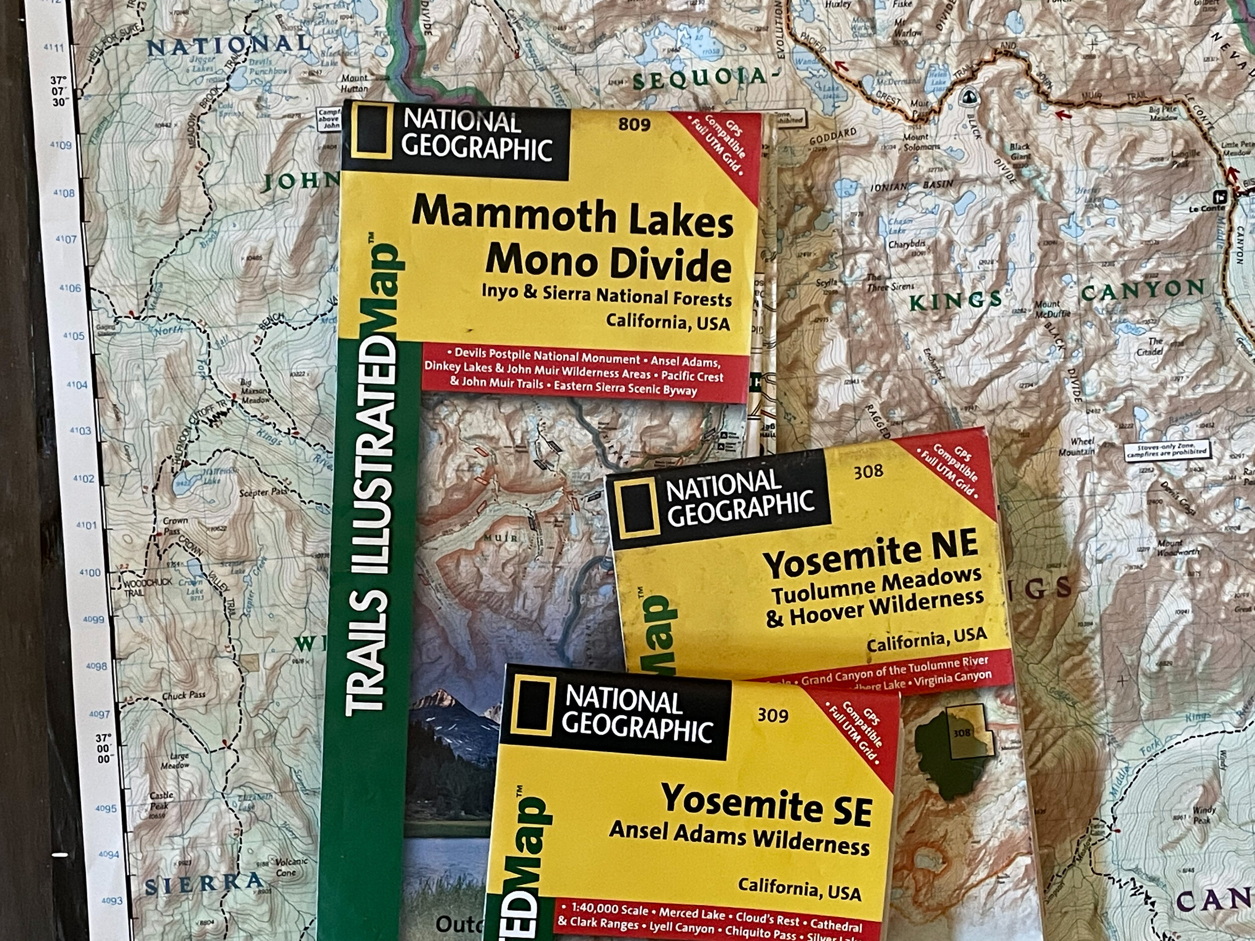
The organizational puzzle arrises because the route covers 15 large topographical quadrants and choosing which maps or parts of maps to bring can be tough to parse out. So I decided to approach it section by section and only print maps for the navigationally trickier areas. For other sections I’m bringing broader maps printed by National Geographic.
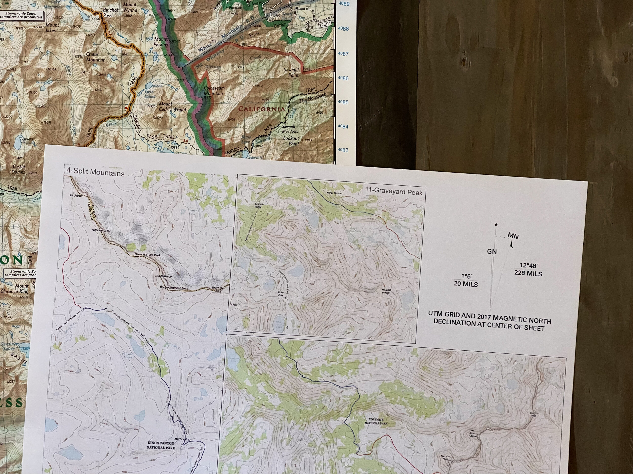
I ended up only needing to print two double sided 11x17 topographical maps. If you’re planning on hiking this route, feel free to reach out to me and I’ll be happy to talk about how I organized the maps.
